Snow: Ice warning issued for Leeds on Monday, March 19 - Hour by hour forecast


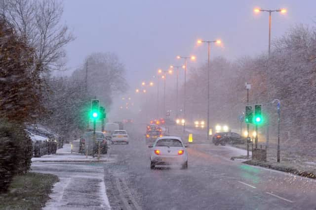
Drivers have been warned not to travel unless necessary after snowdrifts created very difficult conditions in West YorkshireSnow: Struggling cars and city sledging as mini Beast from the East hits LeedsA Yellow weather warning for ice has been issued for all of Yorkshire on Monday.
What the Met Office says:
Ice Warning
"Ice is likely to form on untreated roads, pavements and cycle paths. This increases the risk of accidents ad well as injuries due to falls. Further snow is likely across parts of the southwest of England, easing from the north by morning."
Sunday overnight:
Advertisement
Hide AdAdvertisement
Hide AdA rather cloudy night is expected with most areas becoming dry with easterly winds continuing to slowly decrease in strength. Staying cold with a frost affecting most parts. Minimum temperature -4 °C.
-> Snow in Leeds: All the Sunday evening bus disruptions in West Yorkshirehttps://www.yorkshireeveningpost.co.uk/news/listed-all-the-sunday-evening-bus-disruptions-across-leeds-bradford-west-yorkshire-due-to-snow-1-9070151
Monday:
Monday probably a little brighter and mostly dry. Chance of showers in east. Snow will thaw in most places except across highest ground where temperatures remain below freezing. Maximum temperature 5 °C.
Here is the full forecast for West Yorkshire (see below for other areas):
Midnight Cloudy
1am Cloud
2am Cloud
3am Cloud
4am Cloud
5am Cloud
6-8am Cloud, freezing temperatures (0 degrees)
9am Cloud, 2 degrees C
10am Cloud
11am Sunshine and clouds
12 noon Sunshine and clouds
2pm Sunshine, 5 degrees C
3pm Sunshine and clouds
4pm Sunshine and clouds
5pm Heavy clouds
6pm Very cloudy, 4 degrees C